Sale!

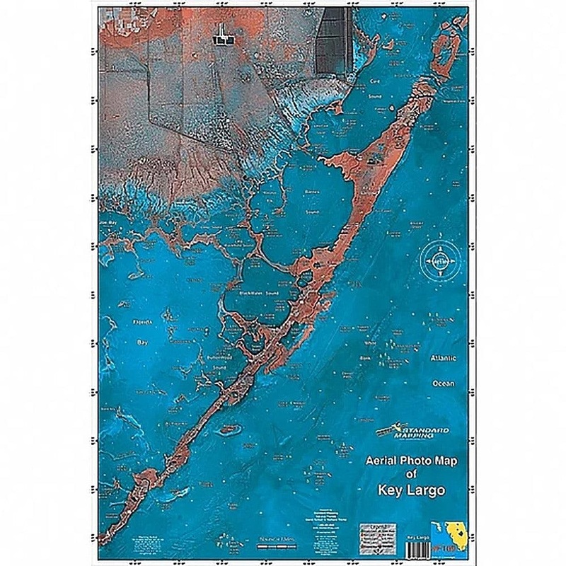
Standard Map Key Largo Chart Standard F109

$11.99 $19.99
Review

This satellite aerial photo map is the perfect tool for the fisherman or outdoor enthusiast. The high resolution satellite photo map allows the inshore fisherman to see more accurate detail and hidden spots than that of traditional navigation chart. Backwa

  • Satisfaction 100% Guaranteed
  • Free shipping on orders over $30
  • 60 day easy Return

Qty:

SKU: OH16996228 Category:

Description

This satellite aerial photo map is the perfect tool for the fisherman or outdoor enthusiast. The high resolution satellite photo map allows the inshore fisherman to see more accurate detail and hidden spots than that of traditional navigation chart. Backwater areas come alive in this map. Get to places most people don’t know about!

Reviews

There are no reviews yet.

Be the first to review “Standard Map Key Largo Chart Standard F109”

Your email address will not be published. Required fields are marked *